Si trabajas en un laboratorio o estás pensando en montarlo, probablemente buscas resultados fiables y procesos eficientes. En este artículo te mostraré cómo optimizar un laboratorio desde el diseño hasta la automatización, aportando ideas prácticas que puedes aplicar hoy mismo.
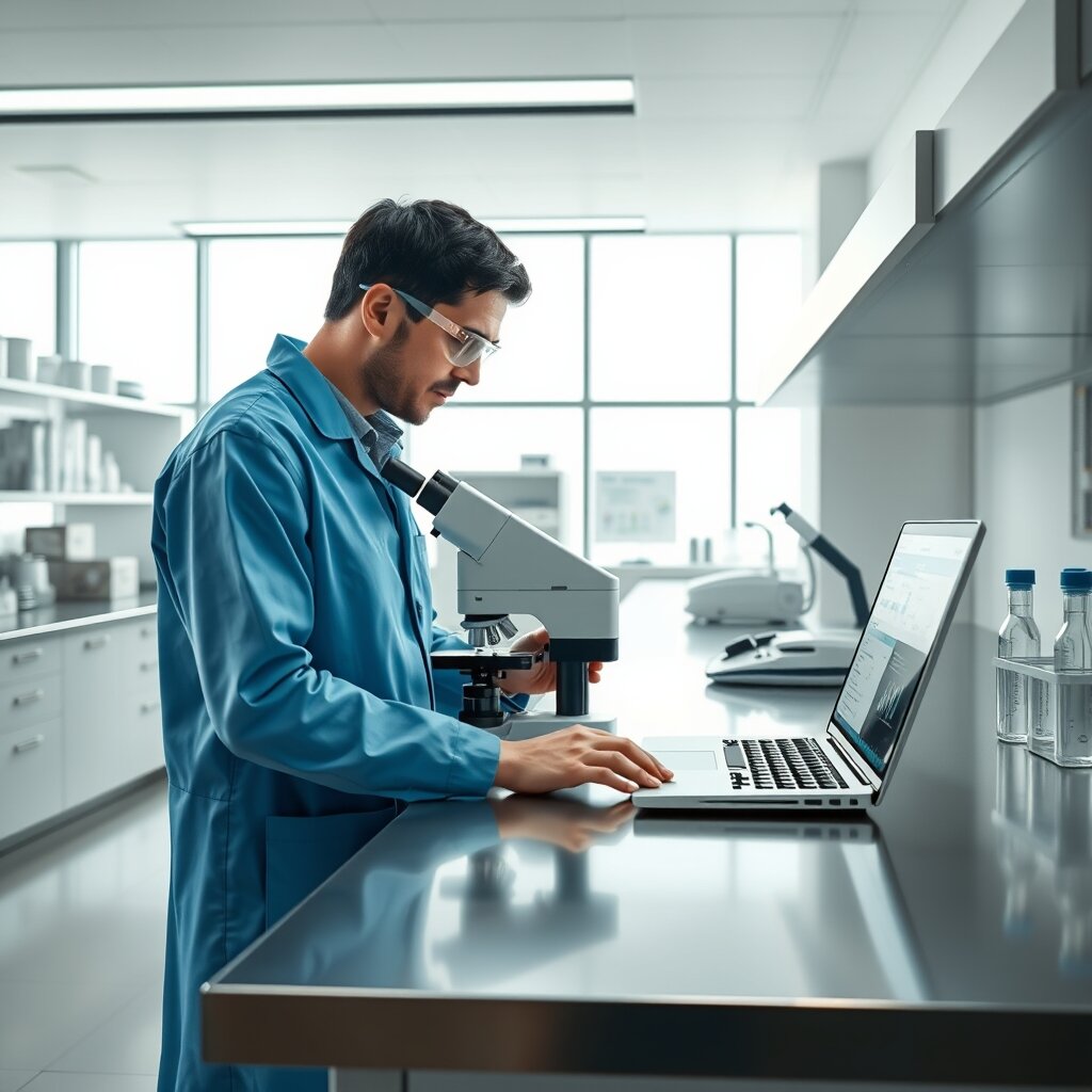
Diseño del laboratorio: espacio y flujo de trabajo
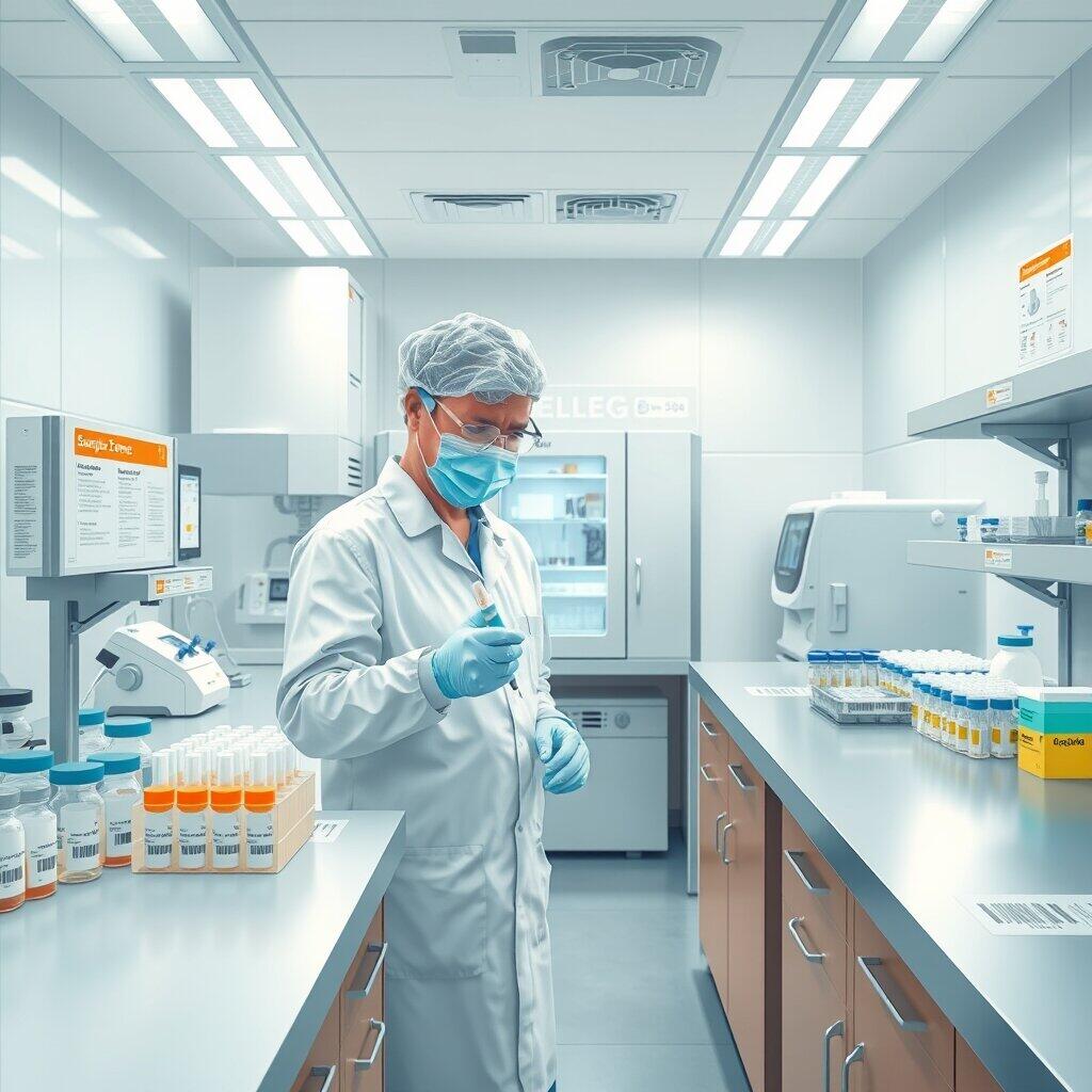
Un buen diseño del laboratorio mejora la productividad y reduce errores. Organiza las zonas según función—recepción de muestras, análisis, almacenamiento y área de residuos—para minimizar el movimiento innecesario.
Además, considera la ergonomía y el acceso a equipos y reactivos. Por ejemplo, ubica las estaciones de trabajo con suficiente espacio para manipular muestras y coloca el equipo pesado en superficies resistentes para evitar vibraciones que afecten los resultados.
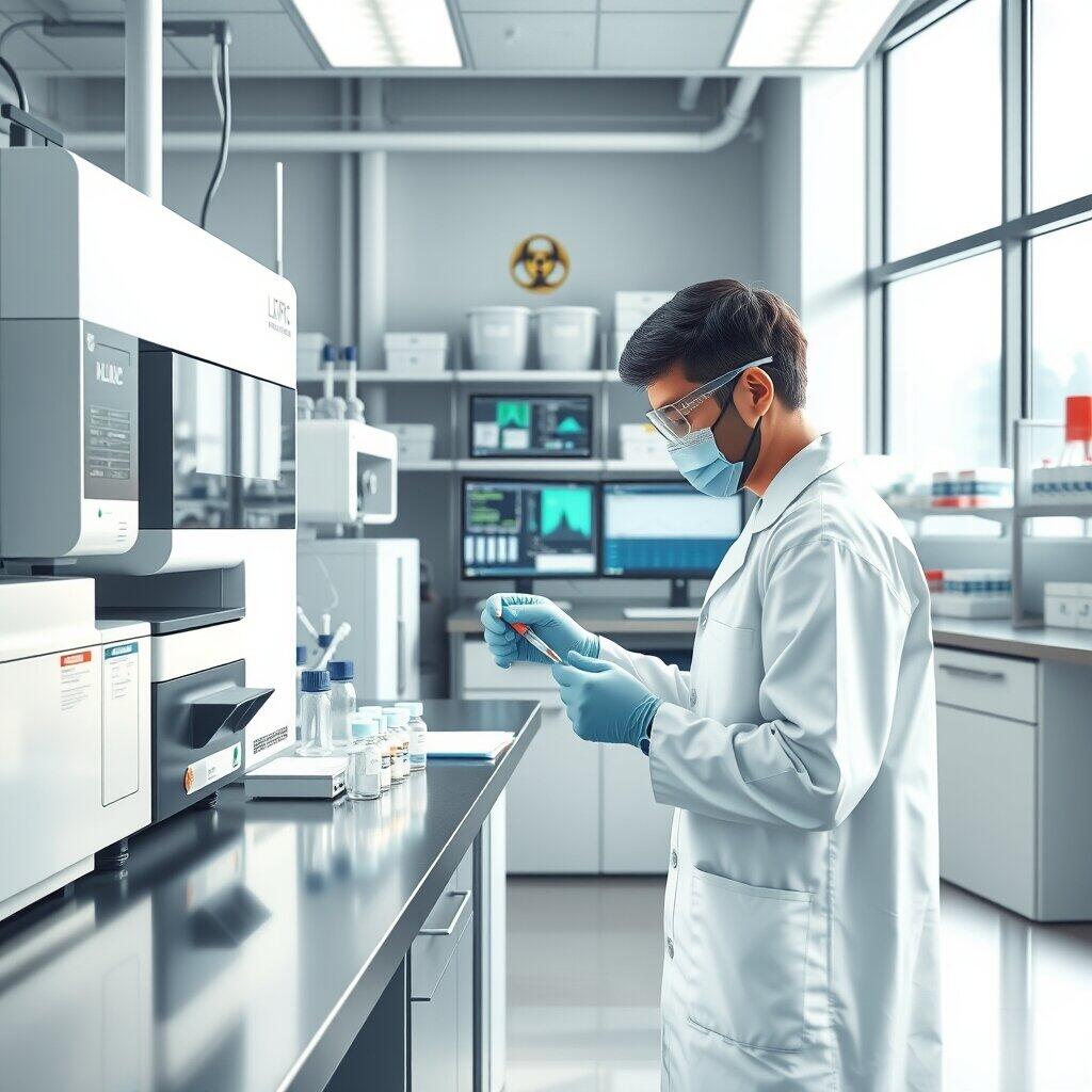
Equipamiento y tecnología para el laboratorio
La elección del equipo determina la calidad de los análisis. Prioriza instrumentos con certificaciones y soporte técnico, y evalúa la relación coste-beneficio en función de la frecuencia de uso y la precisión requerida.
Por otra parte, invierte en tecnologías complementarias como refrigeración segura para reactivos y sistemas de registro electrónico de datos. Esto no solo facilita el seguimiento de muestras, sino que reduce el riesgo de pérdida de información.
Mantenimiento y calibración
Es fundamental programar mantenimientos y calibraciones periódicas para asegurar lecturas confiables. Mantén registros detallados de cada intervención para auditorías y control de calidad.
Asimismo, delega responsabilidades claras entre el personal técnico para que las tareas rutinarias no queden pendientes.
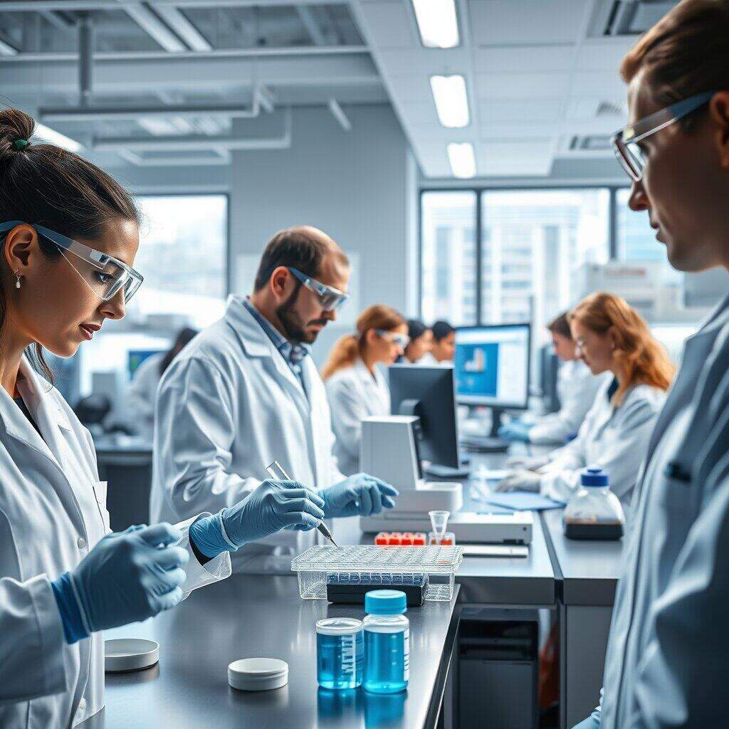
Buenas prácticas y control de calidad en el laboratorio
Para garantizar resultados reproducibles, establece procedimientos operativos estándar (POE) y protocolos de validación. Estos documentos deben estar accesibles y actualizarse ante cualquier cambio en métodos o reactivos.
En consecuencia, realiza controles internos y participa en programas externos de evaluación para comparar tu desempeño con el de otros laboratorios. Esto ayuda a identificar desviaciones y mejorar continuamente.
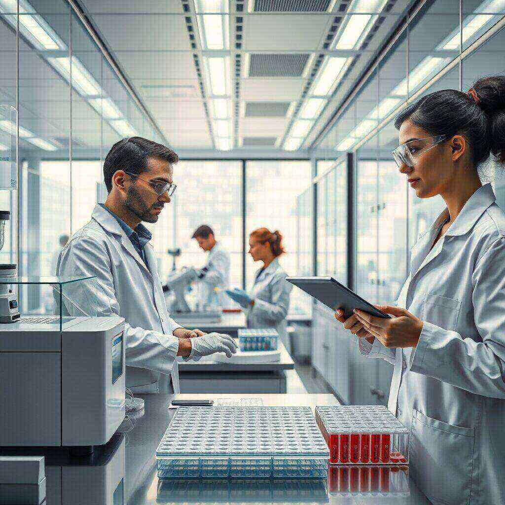
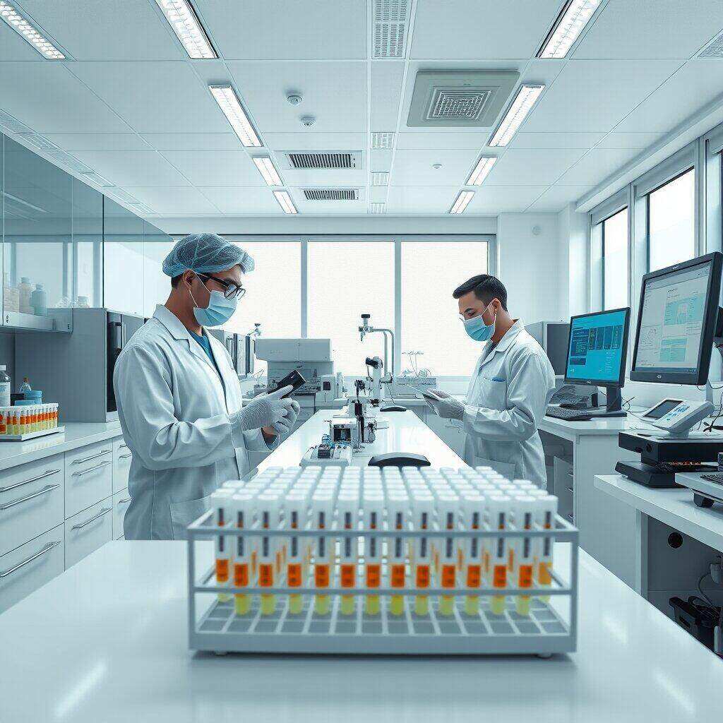
Documentación y trazabilidad
Registra cada muestra desde su recepción hasta la entrega de resultados. La trazabilidad es clave para resolver incidencias y mantener la confianza del paciente o cliente.
Además, implementa un sistema de identificación claro, como códigos de barras o etiquetas resistentes, para reducir errores humanos.
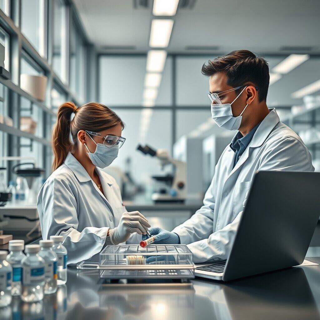
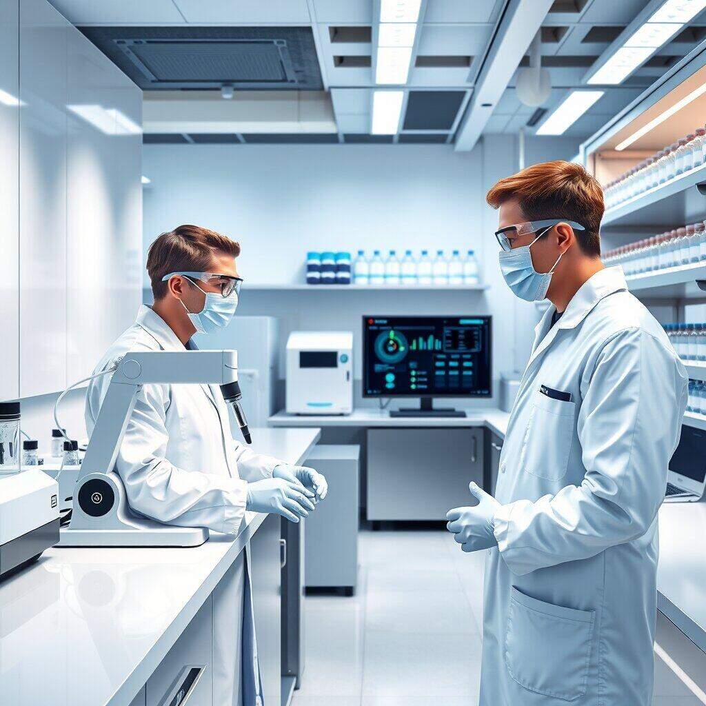
Seguridad y manejo de muestras en el laboratorio
La seguridad en el laboratorio protege al personal y preserva la integridad de las muestras. Aplica medidas como uso obligatorio de EPP, protocolos de bioseguridad y planes de respuesta a emergencias.
Por otra parte, define normas para el transporte y almacenamiento de muestras, incluyendo temperatura, tiempo máximo de conservación y contenedores apropiados.
Gestión de residuos y cumplimiento normativo
Clasifica y dispone los residuos según la legislación vigente. La gestión responsable reduce riesgos ambientales y evita sanciones regulatorias.
Finalmente, forma al equipo en normativas locales y políticas internas sobre manejo de residuos y sustancias peligrosas.
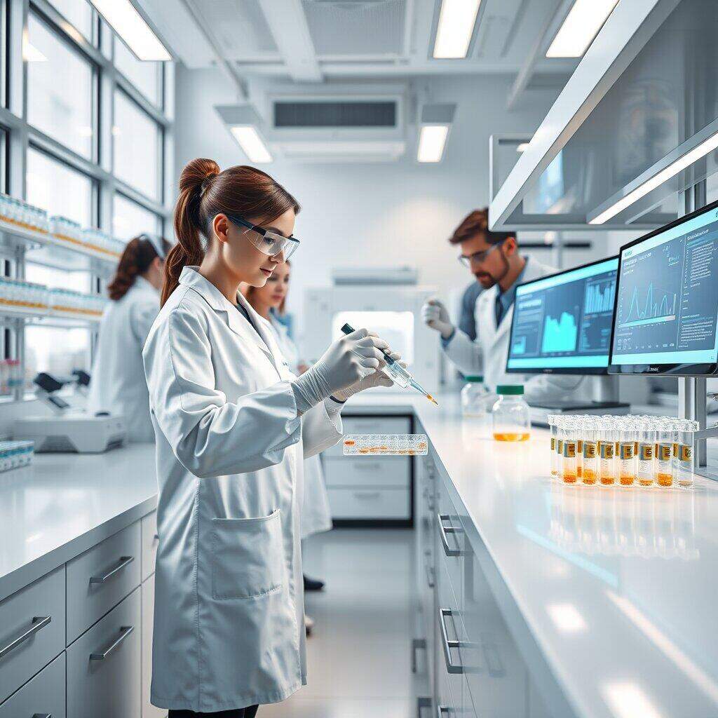
Automatización y digitalización del laboratorio
La automatización acelera procesos y minimiza errores de pipeteo y registro manual. Considera soluciones modulares que se integren con tus sistemas existentes.
Seguidamente, digitaliza los resultados con un LIMS (Laboratory Information Management System) para mejorar la trazabilidad y facilitar auditorías. La integración con equipos reduce la intervención manual y mejora la consistencia de datos.
Inteligencia de datos y mejora continua
Analiza tendencias y tiempos de procesamiento para identificar cuellos de botella. La inteligencia de datos permite priorizar inversiones con impacto medible.
En consecuencia, establece indicadores clave de desempeño (KPI) como tiempo por muestra, tasa de rechazo y cumplimiento de plazos, y revísalos periódicamente.
Implementación: pasos para optimizar tu laboratorio
Para avanzar de forma ordenada, comienza con una auditoría interna que identifique áreas críticas. Después, crea un plan con metas a corto, medio y largo plazo, asignando responsables y recursos.
A continuación, implanta cambios pilotos y evalúa su impacto antes de expandirlos al resto del laboratorio. Esto reduce riesgos y facilita la adopción por parte del equipo.
Para resumir lo más importante: prioriza la seguridad, la calidad y la trazabilidad mientras modernizas procesos con equipos adecuados y digitalización. Aplica un plan paso a paso, mide resultados con indicadores y adapta las prácticas según los hallazgos. Con estas acciones tendrás un laboratorio más eficiente y confiable, listo para ofrecer resultados consistentes y cumplir con las exigencias actuales del sector.